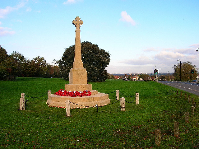
War memorial, Ringmer
Introduction
The photograph on this page of War memorial, Ringmer by Simon Carey as part of the Geograph project.
The Geograph project started in 2005 with the aim of publishing, organising and preserving representative images for every square kilometre of Great Britain, Ireland and the Isle of Man.
There are currently over 7.5m images from over 14,400 individuals and you can help contribute to the project by visiting https://www.geograph.org.uk

Image: © Simon Carey Taken: 13 Nov 2005
Looking east along the village green and B2192. Ringmer was not originally the principal village of the area but a common for the farmers of Rushy Green, Ashton Green, Norlington and Wellingham to graze their livestock on. However, Ringmer soon became the parochial centre, and from the enclosures onwards the village grew, particularly after two turnpikes (nowadays the B2192 and B2124) were driven through the common in the 1740s. Now it's the principal village and the others have become small sleepy hamlets.

