Bridleway to Downside
Introduction
The photograph on this page of Bridleway to Downside by Hugh Craddock as part of the Geograph project.
The Geograph project started in 2005 with the aim of publishing, organising and preserving representative images for every square kilometre of Great Britain, Ireland and the Isle of Man.

There are currently over 7.5m images from over 14,400 individuals and you can help contribute to the project by visiting https://www.geograph.org.uk
Bridleway to Downside
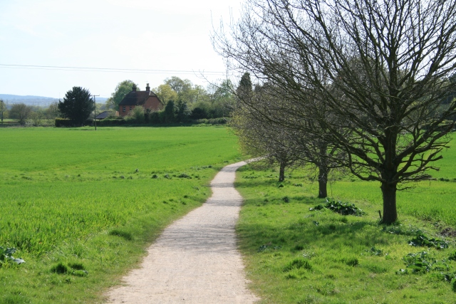
Image: © Hugh Craddock Taken: 26 Apr 2008
The public bridleway (Esher 82) takes a short cut across the field towards Downside Common, cutting off a dog leg in the drive to Downside Farm. The path used to become heavily poached in winter, and was surfaced around 2005.
Images are licensed for reuse under creativecommons.org/licenses/by-sa/2.0
Image Location
Latitude
51.311955
Longitude
-0.404929