Field at Wheathill, near the village of Bromdon
Introduction
The photograph on this page of Field at Wheathill, near the village of Bromdon by Andrew Shannon as part of the Geograph project.
The Geograph project started in 2005 with the aim of publishing, organising and preserving representative images for every square kilometre of Great Britain, Ireland and the Isle of Man.

There are currently over 7.5m images from over 14,400 individuals and you can help contribute to the project by visiting https://www.geograph.org.uk
Field at Wheathill, near the village of Bromdon
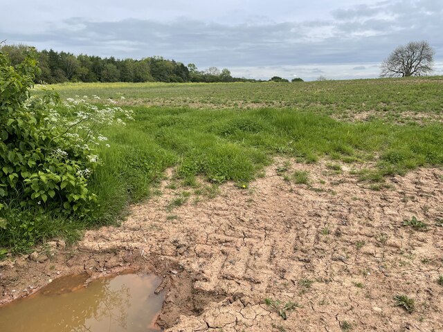
Image: © Andrew Shannon Taken: 21 May 2024
According to the OS map, this field is around the site of a medieval village named Egerton. No sign of it from here, but the land is private so I could not gain access to explore more closely. Pity.
Images are licensed for reuse under creativecommons.org/licenses/by-sa/2.0
Image Location
Latitude
52.427771
Longitude
-2.587491