Track between fields south of Kelshall
Introduction
The photograph on this page of Track between fields south of Kelshall by David Martin as part of the Geograph project.
The Geograph project started in 2005 with the aim of publishing, organising and preserving representative images for every square kilometre of Great Britain, Ireland and the Isle of Man.

There are currently over 7.5m images from over 14,400 individuals and you can help contribute to the project by visiting https://www.geograph.org.uk
Track between fields south of Kelshall
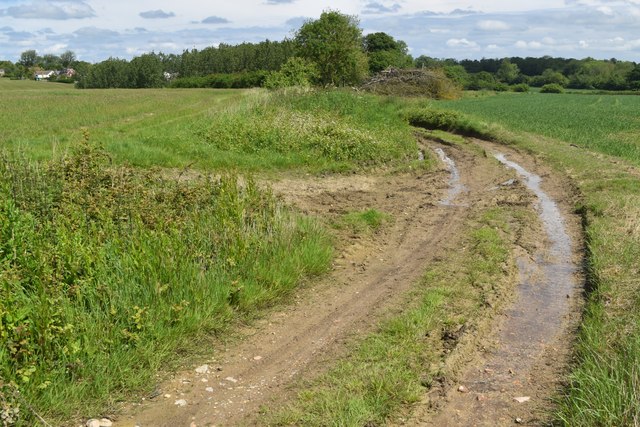
Image: © David Martin Taken: 25 May 2024
This permissive route is signed locally as the Hertfordshire Way (Clockwise Direction). Although up on the chalk downs, there is an overlying layer of boulder clay, making the going surprisingly muddy.
Images are licensed for reuse under creativecommons.org/licenses/by-sa/2.0
Image Location
Latitude
52.004382
Longitude
-0.060199