The site of the recently demolished Kirn United Presbytarian Church
Introduction
The photograph on this page of The site of the recently demolished Kirn United Presbytarian Church by Peter Wood as part of the Geograph project.
The Geograph project started in 2005 with the aim of publishing, organising and preserving representative images for every square kilometre of Great Britain, Ireland and the Isle of Man.

There are currently over 7.5m images from over 14,400 individuals and you can help contribute to the project by visiting https://www.geograph.org.uk
The site of the recently demolished Kirn United Presbytarian Church
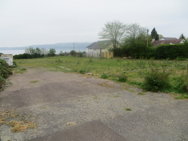
Image: © Peter Wood Taken: 4 May 2024
Looking south-eastward. Storm damage to the church has resulted in its demise. No doubt now a prime site for housing.
Images are licensed for reuse under creativecommons.org/licenses/by-sa/2.0
Image Location
Latitude
55.958926
Longitude
-4.915279