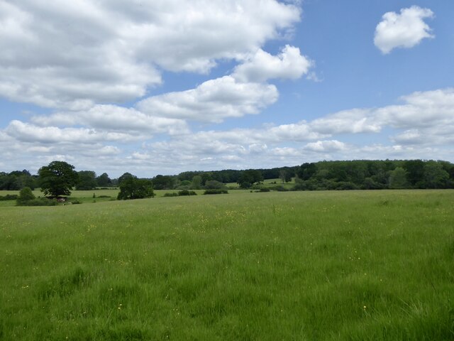
Floodgate Field
Introduction
The photograph on this page of Floodgate Field by Simon Carey as part of the Geograph project.
The Geograph project started in 2005 with the aim of publishing, organising and preserving representative images for every square kilometre of Great Britain, Ireland and the Isle of Man.
There are currently over 7.5m images from over 14,400 individuals and you can help contribute to the project by visiting https://www.geograph.org.uk

Image: © Simon Carey Taken: 25 May 2024
The name of the field according to Kirdford's 1845 tithe map located on the northern side of Scratchings Lane. On the north eastern side is the site of Roundwick Furnace which operated in the 17th century though little written evidence has yet come to light. The pond bay is still extant and whilst the pond is dry it had three branches which can be made out, the dip to the left was one of them. The name of the field itself remembers the former sluice on the spillway.

