Floyds Farm house, Mill Lane, Wingrave
Introduction
The photograph on this page of Floyds Farm house, Mill Lane, Wingrave by Robin Webster as part of the Geograph project.
The Geograph project started in 2005 with the aim of publishing, organising and preserving representative images for every square kilometre of Great Britain, Ireland and the Isle of Man.

There are currently over 7.5m images from over 14,400 individuals and you can help contribute to the project by visiting https://www.geograph.org.uk
Floyds Farm house, Mill Lane, Wingrave
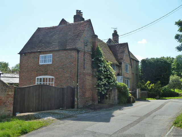
Image: © Robin Webster Taken: 5 Jun 2014
A grade II listed building, original parts 16th - 17th century.
Images are licensed for reuse under creativecommons.org/licenses/by-sa/2.0
Image Location
Latitude
51.862434
Longitude
-0.736547