Footpath to St Giles
Introduction
The photograph on this page of Footpath to St Giles by Row17 as part of the Geograph project.
The Geograph project started in 2005 with the aim of publishing, organising and preserving representative images for every square kilometre of Great Britain, Ireland and the Isle of Man.

There are currently over 7.5m images from over 14,400 individuals and you can help contribute to the project by visiting https://www.geograph.org.uk
Footpath to St Giles
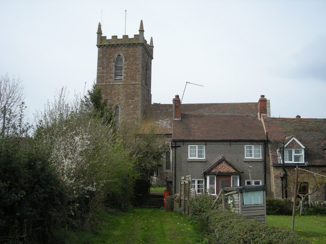
Image: © Row17 Taken: 26 Apr 2008
The house on the far right used to be the village pub. Called 'The Old Inn' it was a lovely place, very quiet though. Presumably that's why it closed to the public in 1996.
Images are licensed for reuse under creativecommons.org/licenses/by-sa/2.0
Image Location
Latitude
52.510266
Longitude
-2.496796