Soldiers Graves, Green Lane
Introduction
The photograph on this page of Soldiers Graves, Green Lane by Simon Carey as part of the Geograph project.
The Geograph project started in 2005 with the aim of publishing, organising and preserving representative images for every square kilometre of Great Britain, Ireland and the Isle of Man.

There are currently over 7.5m images from over 14,400 individuals and you can help contribute to the project by visiting https://www.geograph.org.uk
Soldiers Graves, Green Lane
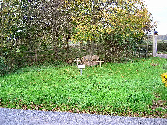
Image: © Simon Carey Taken: 13 Nov 2005
The plaque reads 'These are the graves of two soldiers who died in a duel circa 1800'. Difficult to ascertain which square this is in as it lies right on the border with TQ4614, the graves are opposite the junction of Green Lane, Norlington Lane and Broyle Lane with the drive to Plashett Park Farm heading north behind them.
Images are licensed for reuse under creativecommons.org/licenses/by-sa/2.0
Image Location
Latitude
50.908838
Longitude
0.073845