Gourock High School and Tower Hill
Introduction
The photograph on this page of Gourock High School and Tower Hill by Thomas Nugent as part of the Geograph project.
The Geograph project started in 2005 with the aim of publishing, organising and preserving representative images for every square kilometre of Great Britain, Ireland and the Isle of Man.

There are currently over 7.5m images from over 14,400 individuals and you can help contribute to the project by visiting https://www.geograph.org.uk
Gourock High School and Tower Hill
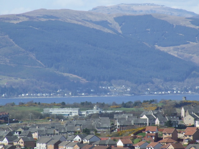
Image: © Thomas Nugent Taken: 17 Apr 2008
Viewed from Greenock Cut. Blairmore on Loch Long can be seen beyond the school, with Ben Mhor in the distance. The tower on Tower Hill Image can be seen to the right.
Images are licensed for reuse under creativecommons.org/licenses/by-sa/2.0
Image Location
Latitude
55.953653
Longitude
-4.822116