The old road to Galashiels Golf Course
Introduction
The photograph on this page of The old road to Galashiels Golf Course by Walter Baxter as part of the Geograph project.
The Geograph project started in 2005 with the aim of publishing, organising and preserving representative images for every square kilometre of Great Britain, Ireland and the Isle of Man.

There are currently over 7.5m images from over 14,400 individuals and you can help contribute to the project by visiting https://www.geograph.org.uk
The old road to Galashiels Golf Course
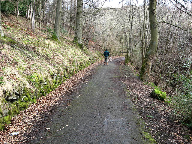
Image: © Walter Baxter Taken: 16 Mar 2008
This used to be the only vehicular access to the golf course and being a single track road, it often caused problems at this section where the road takes a U-turn at a bridge over the Ladhope Burn Image] to the right of the walker. When two cars met here, it was up to one of the drivers to reverse back to a suitable spot to let the other car pass. When the Ladhope Estate housing scheme was developed, access to the course was linked in through the estate and this section of road became redundant, and it is now only used by pedestrians.
Images are licensed for reuse under creativecommons.org/licenses/by-sa/2.0
Image Location
Latitude
55.622304
Longitude
-2.806791