Dunsford: Sowton Mill and leat
Introduction
The photograph on this page of Dunsford: Sowton Mill and leat by Martin Bodman as part of the Geograph project.
The Geograph project started in 2005 with the aim of publishing, organising and preserving representative images for every square kilometre of Great Britain, Ireland and the Isle of Man.

There are currently over 7.5m images from over 14,400 individuals and you can help contribute to the project by visiting https://www.geograph.org.uk
Dunsford: Sowton Mill and leat
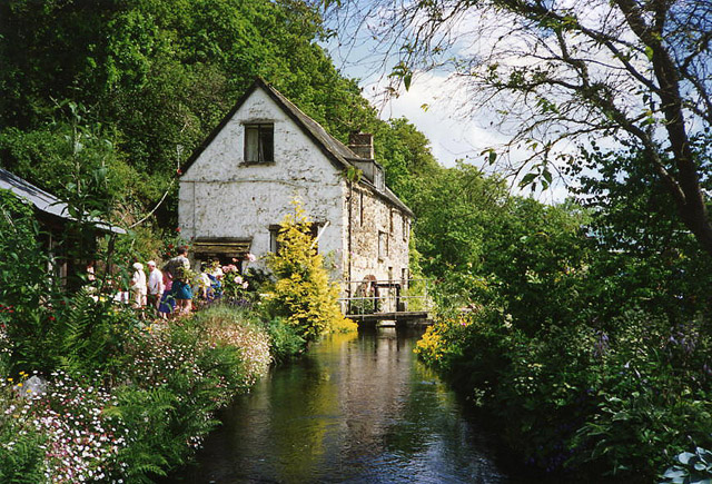
Image: © Martin Bodman Taken: Unknown
The mill leat is supplied from a weir on the Teign. Seen on a garden open day. The Ordnance Survey 1:25,000 map [Pathfinder 1329 of 1992] shows a public footpath running past the mill
Images are licensed for reuse under creativecommons.org/licenses/by-sa/2.0
Image Location


Leaflet Map data © OpenStreetMap
Latitude
50.682437
Longitude
-3.665963