Approaching the A52 at Donington High Bridge
Introduction
The photograph on this page of Approaching the A52 at Donington High Bridge by Ian Paterson as part of the Geograph project.
The Geograph project started in 2005 with the aim of publishing, organising and preserving representative images for every square kilometre of Great Britain, Ireland and the Isle of Man.

There are currently over 7.5m images from over 14,400 individuals and you can help contribute to the project by visiting https://www.geograph.org.uk
Approaching the A52 at Donington High Bridge
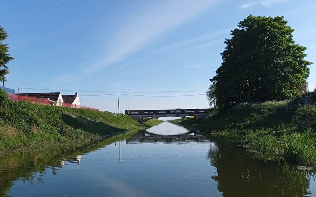
Image: © Ian Paterson Taken: 9 May 2024
The barely visible signpost to the left of the telegraph pole has a warning exclamation eark sign with a notice below reading 'End of Navigation' despite it looking perfectly navigable from here. Better safe than sorry though.
Images are licensed for reuse under creativecommons.org/licenses/by-sa/2.0
Image Location
Latitude
52.905216
Longitude
-0.256928