Public Bridleway
Introduction
The photograph on this page of Public Bridleway by Mr Biz as part of the Geograph project.
The Geograph project started in 2005 with the aim of publishing, organising and preserving representative images for every square kilometre of Great Britain, Ireland and the Isle of Man.

There are currently over 7.5m images from over 14,400 individuals and you can help contribute to the project by visiting https://www.geograph.org.uk
Public Bridleway
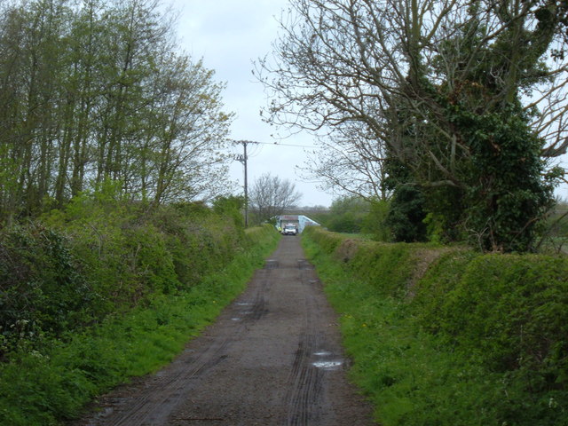
Image: © Mr Biz Taken: 24 Apr 2008
A public bridleway running between Bunyan's & College Farms. In the distance you can see works going on to the A421 underpass.
Images are licensed for reuse under creativecommons.org/licenses/by-sa/2.0
Image Location
Latitude
52.114467
Longitude
-0.443918