2008 : View over North East Somerset
Introduction
The photograph on this page of 2008 : View over North East Somerset by Maurice Pullin as part of the Geograph project.
The Geograph project started in 2005 with the aim of publishing, organising and preserving representative images for every square kilometre of Great Britain, Ireland and the Isle of Man.

There are currently over 7.5m images from over 14,400 individuals and you can help contribute to the project by visiting https://www.geograph.org.uk
2008 : View over North East Somerset
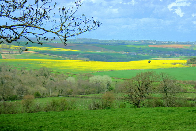
Image: © Maurice Pullin Taken: 24 Apr 2008
From the top of the hill above Rockley Ford looking north toward Shoscombe and Stoney Littleton hidden in the folds of the hills. The splashes of yellow tells us the oilseed rape is flowering a week or so early this year.
Images are licensed for reuse under creativecommons.org/licenses/by-sa/2.0
Image Location
Latitude
51.28951
Longitude
-2.39402