Across the River Arun
Introduction
The photograph on this page of Across the River Arun by Ian Capper as part of the Geograph project.
The Geograph project started in 2005 with the aim of publishing, organising and preserving representative images for every square kilometre of Great Britain, Ireland and the Isle of Man.

There are currently over 7.5m images from over 14,400 individuals and you can help contribute to the project by visiting https://www.geograph.org.uk
Across the River Arun
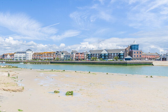
Image: © Ian Capper Taken: 4 May 2024
Looking across the River Arun at low tide, with the RNLI lifeboat station on Fisherman's Hard in the centre of the photo, with the residential developments of Mariners Quay on the left and Wight Court on the right. On the far right is the RNLI lifeboat station on Fisherman's Hard.
Images are licensed for reuse under creativecommons.org/licenses/by-sa/2.0
Image Location
Latitude
50.808126
Longitude
-0.545815