The old health centre
Introduction
The photograph on this page of The old health centre by Neil Owen as part of the Geograph project.
The Geograph project started in 2005 with the aim of publishing, organising and preserving representative images for every square kilometre of Great Britain, Ireland and the Isle of Man.

There are currently over 7.5m images from over 14,400 individuals and you can help contribute to the project by visiting https://www.geograph.org.uk
The old health centre
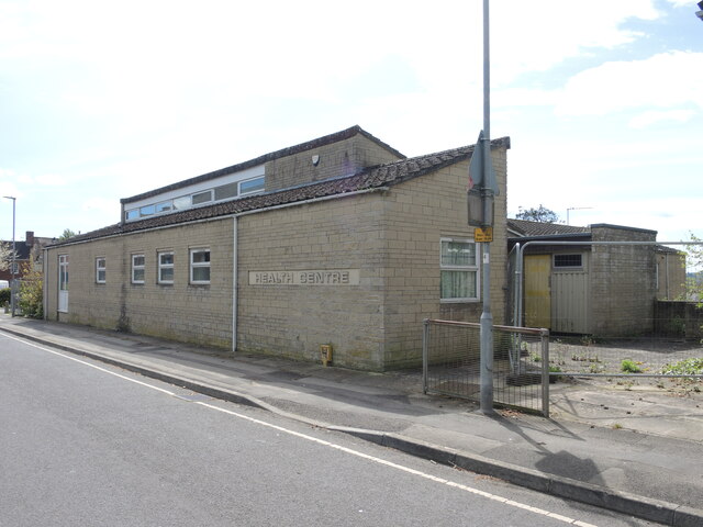
Image: © Neil Owen Taken: 18 Apr 2024
Wincanton Health Centre was built on Carrington Way but was vacated by the N. H. S. in December, 2012. A new unit was founded elsewhere but the old buildings have been subject to abandonment ever since. Local entrepreneurs have made efforts to convert it and some council budgetting was initially made public, but that has since been withdrawn against the financial downturn. The site remains closed.
Images are licensed for reuse under creativecommons.org/licenses/by-sa/2.0
Image Location
Latitude
51.057642
Longitude
-2.409455