Closed on Carrington Way
Introduction
The photograph on this page of Closed on Carrington Way by Neil Owen as part of the Geograph project.
The Geograph project started in 2005 with the aim of publishing, organising and preserving representative images for every square kilometre of Great Britain, Ireland and the Isle of Man.

There are currently over 7.5m images from over 14,400 individuals and you can help contribute to the project by visiting https://www.geograph.org.uk
Closed on Carrington Way
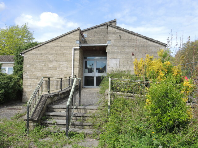
Image: © Neil Owen Taken: 18 Apr 2024
The town's health centre has been closed for over a decade, whilst a new centre was built to the west. Although there have been plans made public, it seems the council have declined to sort the old building out due to budgetary constraints.
Images are licensed for reuse under creativecommons.org/licenses/by-sa/2.0
Image Location
Latitude
51.057373
Longitude
-2.409452