Yew Tree Lane in Tettenhall, Wolverhampton
Introduction
The photograph on this page of Yew Tree Lane in Tettenhall, Wolverhampton by Roger D Kidd as part of the Geograph project.
The Geograph project started in 2005 with the aim of publishing, organising and preserving representative images for every square kilometre of Great Britain, Ireland and the Isle of Man.

There are currently over 7.5m images from over 14,400 individuals and you can help contribute to the project by visiting https://www.geograph.org.uk
Yew Tree Lane in Tettenhall, Wolverhampton
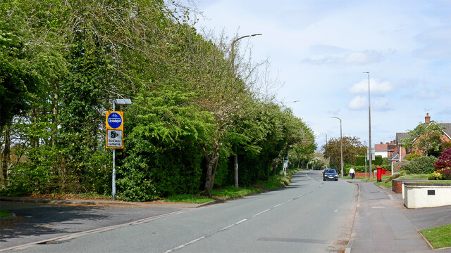
Image: © Roger D Kidd Taken: 30 Apr 2024
Looking north-north-west towards Codsall. The Wolverhampton/Staffordshire boundary runs along this road, Perton in Staffordshire being off to the left but no public road allows access from Yew Tree Lane. Drivers going to Perton Middle School (off to the left) face a permanent three mile diversion via Wrottesley Park Road.
Images are licensed for reuse under creativecommons.org/licenses/by-sa/2.0
Image Location
Latitude
52.596652
Longitude
-2.188926