Crockers Lane Near Whitegates Farm
Introduction
The photograph on this page of Crockers Lane Near Whitegates Farm by Glyn Baker as part of the Geograph project.
The Geograph project started in 2005 with the aim of publishing, organising and preserving representative images for every square kilometre of Great Britain, Ireland and the Isle of Man.

There are currently over 7.5m images from over 14,400 individuals and you can help contribute to the project by visiting https://www.geograph.org.uk
Crockers Lane Near Whitegates Farm
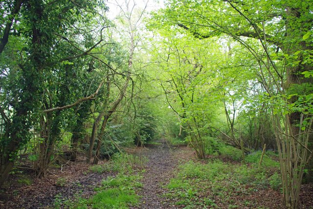
Image: © Glyn Baker Taken: 2 May 2024
The lack of churned up muddy hoof prints and low hanging branches indicate that Horne Bridleway 326 is a path less traveled at this point.
Images are licensed for reuse under creativecommons.org/licenses/by-sa/2.0
Image Location
Latitude
51.179957
Longitude
-0.049794