Clay Lane
Introduction
The photograph on this page of Clay Lane by Glyn Baker as part of the Geograph project.
The Geograph project started in 2005 with the aim of publishing, organising and preserving representative images for every square kilometre of Great Britain, Ireland and the Isle of Man.

There are currently over 7.5m images from over 14,400 individuals and you can help contribute to the project by visiting https://www.geograph.org.uk
Clay Lane
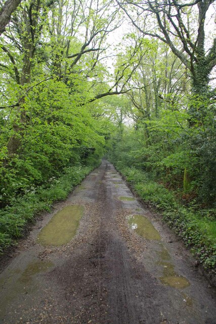
Image: © Glyn Baker Taken: 2 May 2024
Horne Bridleway 326 this leads to East Bysshe Farm after which the right of way becomes Image
Images are licensed for reuse under creativecommons.org/licenses/by-sa/2.0
Image Location
Latitude
51.169091
Longitude
-0.061553