Kissing gate with public footpath to Chappel village
Introduction
The photograph on this page of Kissing gate with public footpath to Chappel village by Robert Edwards as part of the Geograph project.
The Geograph project started in 2005 with the aim of publishing, organising and preserving representative images for every square kilometre of Great Britain, Ireland and the Isle of Man.

There are currently over 7.5m images from over 14,400 individuals and you can help contribute to the project by visiting https://www.geograph.org.uk
Kissing gate with public footpath to Chappel village
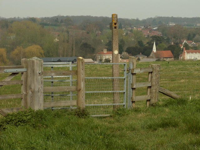
Image: © Robert Edwards Taken: 21 Apr 2008
This is the view from Oak Road. The parish church of Chappel can be seen in the distance, which is located in a different grid square.
Images are licensed for reuse under creativecommons.org/licenses/by-sa/2.0
Image Location
Latitude
51.917794
Longitude
0.747678