Bunhill Fields public garden
Introduction
The photograph on this page of Bunhill Fields public garden by Natasha Ceridwen de Chroustchoff as part of the Geograph project.
The Geograph project started in 2005 with the aim of publishing, organising and preserving representative images for every square kilometre of Great Britain, Ireland and the Isle of Man.

There are currently over 7.5m images from over 14,400 individuals and you can help contribute to the project by visiting https://www.geograph.org.uk
Bunhill Fields public garden
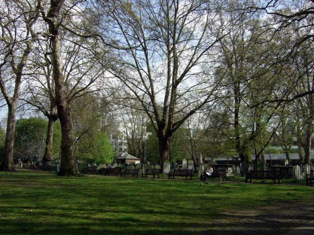
Image: © Natasha Ceridwen de Chroustchoff Taken: 23 Apr 2008
The open space to the north of the graves, which are tightly packed within a fenced area, is a pleasant sylvan oasis where office workers can eat their lunch, take their ease or talk on their mobile phones.
Images are licensed for reuse under creativecommons.org/licenses/by-sa/2.0
Image Location
Latitude
51.52457
Longitude
-0.088444