Walkway through Bunhill Fields looking east
Introduction
The photograph on this page of Walkway through Bunhill Fields looking east by Natasha Ceridwen de Chroustchoff as part of the Geograph project.
The Geograph project started in 2005 with the aim of publishing, organising and preserving representative images for every square kilometre of Great Britain, Ireland and the Isle of Man.

There are currently over 7.5m images from over 14,400 individuals and you can help contribute to the project by visiting https://www.geograph.org.uk
Walkway through Bunhill Fields looking east
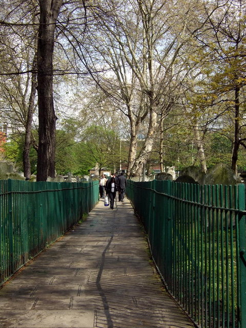
Image: © Natasha Ceridwen de Chroustchoff Taken: 23 Apr 2008
The burial ground lies between Bunhill Row and City Road bisected by a path between the two.
Images are licensed for reuse under creativecommons.org/licenses/by-sa/2.0
Image Location
Latitude
51.523484
Longitude
-0.088057