Former Royal Northern Infirmary, Inverness
Introduction
The photograph on this page of Former Royal Northern Infirmary, Inverness by Bill Harrison as part of the Geograph project.
The Geograph project started in 2005 with the aim of publishing, organising and preserving representative images for every square kilometre of Great Britain, Ireland and the Isle of Man.

There are currently over 7.5m images from over 14,400 individuals and you can help contribute to the project by visiting https://www.geograph.org.uk
Former Royal Northern Infirmary, Inverness
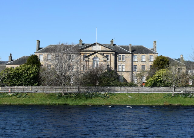
Image: © Bill Harrison Taken: 12 Apr 2024
Built 1803 but heavily altered, which probably lowers it from being A- to B-listed (LB35332 https://portal.historicenvironment.scot/designation/LB35332 ). Now part of UHI (University of the Highlands and Islands).
Images are licensed for reuse under creativecommons.org/licenses/by-sa/2.0
Image Location
Latitude
57.471087
Longitude
-4.230632