Glasnakille
Introduction
The photograph on this page of Glasnakille by Richard Webb as part of the Geograph project.
The Geograph project started in 2005 with the aim of publishing, organising and preserving representative images for every square kilometre of Great Britain, Ireland and the Isle of Man.

There are currently over 7.5m images from over 14,400 individuals and you can help contribute to the project by visiting https://www.geograph.org.uk
Glasnakille
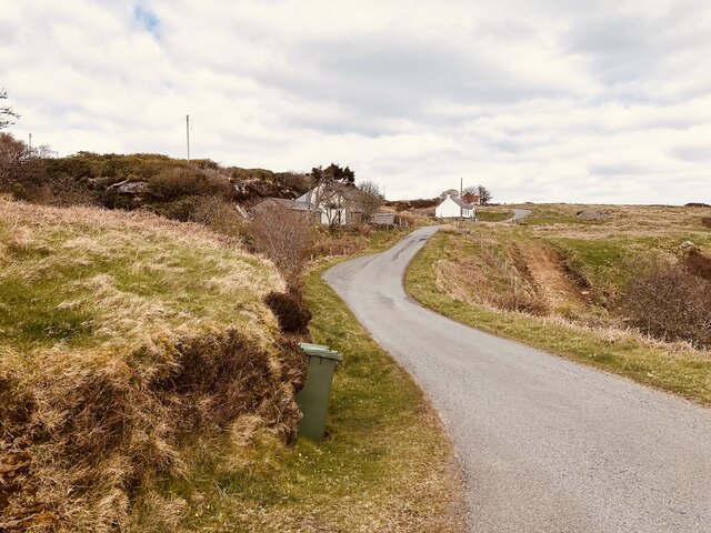
Image: © Richard Webb Taken: 24 Apr 2024
A strip of sedimentary rock along the east side of the peninsula has led to it being inhabited. A contrast to the usual rough moorland between here and Elgol.
Images are licensed for reuse under creativecommons.org/licenses/by-sa/2.0
Image Location


Leaflet Map data © OpenStreetMap
Latitude
57.1396
Longitude
-6.074623