End of private road
Introduction
The photograph on this page of End of private road by P L Chadwick as part of the Geograph project.
The Geograph project started in 2005 with the aim of publishing, organising and preserving representative images for every square kilometre of Great Britain, Ireland and the Isle of Man.

There are currently over 7.5m images from over 14,400 individuals and you can help contribute to the project by visiting https://www.geograph.org.uk
End of private road
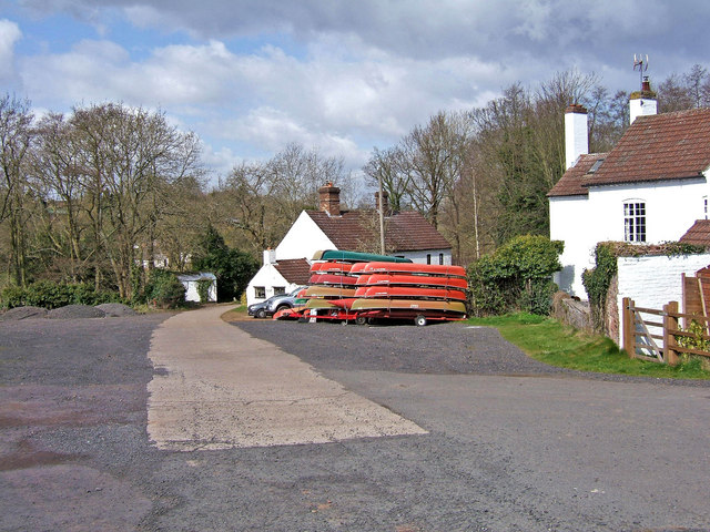
Image: © P L Chadwick Taken: 22 Mar 2008
Opposite the National Trust's car park is the start of a private road (which is also a public footpath) that leads to a caravan park and various houses including the former Lion Inn. This view is looking back from the former inn. By the white house in the far distance the road turns sharp right, but if you keep straight ahead there is a path leading down to the River Severn. Here on this path can be found the grave and memorial plaque for a much loved pet dog.
Images are licensed for reuse under creativecommons.org/licenses/by-sa/2.0
Image Location
Latitude
52.473233
Longitude
-2.373155