Below the Castleford Greenway
Introduction
The photograph on this page of Below the Castleford Greenway by DS Pugh as part of the Geograph project.
The Geograph project started in 2005 with the aim of publishing, organising and preserving representative images for every square kilometre of Great Britain, Ireland and the Isle of Man.

There are currently over 7.5m images from over 14,400 individuals and you can help contribute to the project by visiting https://www.geograph.org.uk
Below the Castleford Greenway
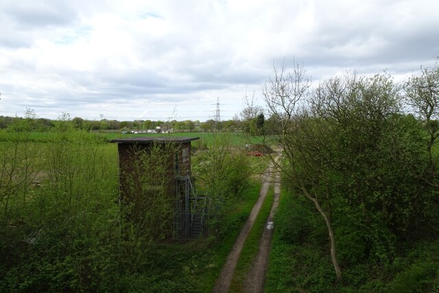
Image: © DS Pugh Taken: 20 Apr 2024
Looking down from the Castleford Greenway which runs along the former Lofthouse to Methley railway line.
Images are licensed for reuse under creativecommons.org/licenses/by-sa/2.0
Image Location


Leaflet Map data © OpenStreetMap
Latitude
53.726694
Longitude
-1.409175