Brockley to Nunhead Footpath
Introduction
The photograph on this page of Brockley to Nunhead Footpath by David Wright as part of the Geograph project.
The Geograph project started in 2005 with the aim of publishing, organising and preserving representative images for every square kilometre of Great Britain, Ireland and the Isle of Man.

There are currently over 7.5m images from over 14,400 individuals and you can help contribute to the project by visiting https://www.geograph.org.uk
Brockley to Nunhead Footpath
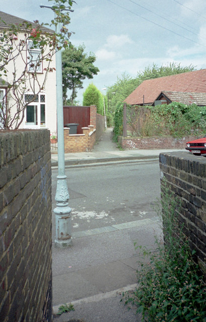
Image: © David Wright Taken: 7 Sep 1996
The footpath commences at the Brockley Jack Image and passes through Cypress Gardens before crossing Buckthorne Road at an angle, as shown in the photo, heading for the footbridge over the railway.
Images are licensed for reuse under creativecommons.org/licenses/by-sa/2.0
Image Location
Latitude
51.453985
Longitude
-0.039865