Two bridges
Introduction
The photograph on this page of Two bridges by Kate Jewell as part of the Geograph project.
The Geograph project started in 2005 with the aim of publishing, organising and preserving representative images for every square kilometre of Great Britain, Ireland and the Isle of Man.

There are currently over 7.5m images from over 14,400 individuals and you can help contribute to the project by visiting https://www.geograph.org.uk
Two bridges
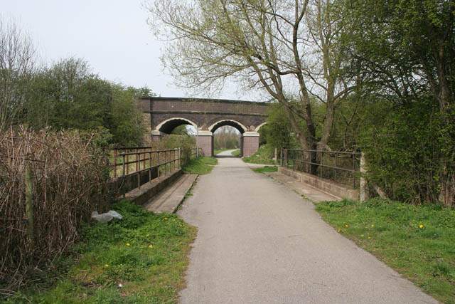
Image: © Kate Jewell Taken: 22 Apr 2008
In the foreground the Nutbrook Trail goes over its namesake, the Nut Brook. Quarry Hill Road is carried over the trail on the bridge beyond.
Images are licensed for reuse under creativecommons.org/licenses/by-sa/2.0
Image Location
Latitude
52.951489
Longitude
-1.307117