Road bridge over the Nutbrook Trail
Introduction
The photograph on this page of Road bridge over the Nutbrook Trail by Kate Jewell as part of the Geograph project.
The Geograph project started in 2005 with the aim of publishing, organising and preserving representative images for every square kilometre of Great Britain, Ireland and the Isle of Man.

There are currently over 7.5m images from over 14,400 individuals and you can help contribute to the project by visiting https://www.geograph.org.uk
Road bridge over the Nutbrook Trail
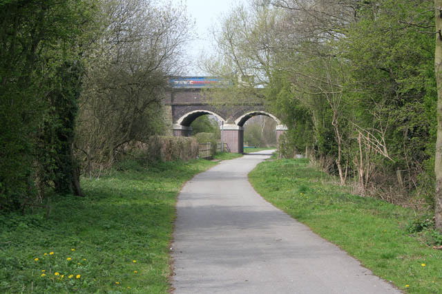
Image: © Kate Jewell Taken: 22 Apr 2008
This bridge carries Quarry Hill Road over the cycleway. Quarry Hill Industrial Estate is behind the trees on the right and the disused Nutbrook Canal and the now wooded brownfield site of the Stanton Ironworks is to the left. Straight ahead the trail heads towards Kirk Hallam and Ilkeston.
Images are licensed for reuse under creativecommons.org/licenses/by-sa/2.0
Image Location
Latitude
52.951759
Longitude
-1.307113