Properties on Kirk Road
Introduction
The photograph on this page of Properties on Kirk Road by Richard Sutcliffe as part of the Geograph project.
The Geograph project started in 2005 with the aim of publishing, organising and preserving representative images for every square kilometre of Great Britain, Ireland and the Isle of Man.

There are currently over 7.5m images from over 14,400 individuals and you can help contribute to the project by visiting https://www.geograph.org.uk
Properties on Kirk Road
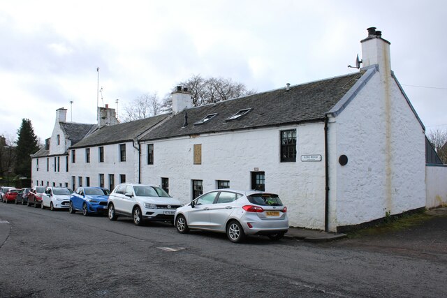
Image: © Richard Sutcliffe Taken: 11 Apr 2024
The nearest building is 2 and 4 Kirk Road. It probably dates from mid-late 18th century, but was modified in the 19th and 20th centuries. A plaque in the wall Image is dated 1793/1974. It is Category C listed https://portal.historicenvironment.scot/designation/LB33320.
Images are licensed for reuse under creativecommons.org/licenses/by-sa/2.0
Image Location
Latitude
55.791158
Longitude
-4.23571