Hexthorpe Manor House
Introduction
The photograph on this page of Hexthorpe Manor House by Stephen Craven as part of the Geograph project.
The Geograph project started in 2005 with the aim of publishing, organising and preserving representative images for every square kilometre of Great Britain, Ireland and the Isle of Man.

There are currently over 7.5m images from over 14,400 individuals and you can help contribute to the project by visiting https://www.geograph.org.uk
Hexthorpe Manor House
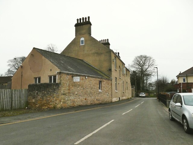
Image: © Stephen Craven Taken: 16 Mar 2024
Hexthorpe (originally Esthorpe) was part of the medieval manor of Balby-cum-Hexthorpe; I don't know the age of this 'manor house'; it appears on the 1854 OS map, but almost certainly not medieval as it is unlisted. It is currently used as a residential care facility for adults with severe learning difficulties. There was also Hexthorpe House (or Hall) nearby that was demolished before World War II.
Images are licensed for reuse under creativecommons.org/licenses/by-sa/2.0
Image Location
Latitude
53.513243
Longitude
-1.157896