The Junction community centre, Hexthorpe Road
Introduction
The photograph on this page of The Junction community centre, Hexthorpe Road by Stephen Craven as part of the Geograph project.
The Geograph project started in 2005 with the aim of publishing, organising and preserving representative images for every square kilometre of Great Britain, Ireland and the Isle of Man.

There are currently over 7.5m images from over 14,400 individuals and you can help contribute to the project by visiting https://www.geograph.org.uk
The Junction community centre, Hexthorpe Road
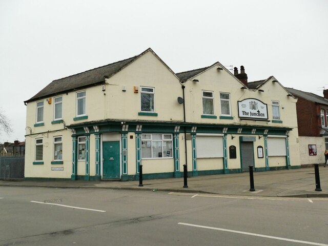
Image: © Stephen Craven Taken: 16 Mar 2024
Shown as an inn on the 1903 map, and (at least in later years) called the Rising Sun, since 2004 this has been a community centre established by the Methodist church. See https://thejunctionhexthorpe.com/our-story/
Images are licensed for reuse under creativecommons.org/licenses/by-sa/2.0
Image Location
Latitude
53.518544
Longitude
-1.144971