Balderton Lake
Introduction
The photograph on this page of Balderton Lake by Bob Danylec as part of the Geograph project.
The Geograph project started in 2005 with the aim of publishing, organising and preserving representative images for every square kilometre of Great Britain, Ireland and the Isle of Man.

There are currently over 7.5m images from over 14,400 individuals and you can help contribute to the project by visiting https://www.geograph.org.uk
Balderton Lake
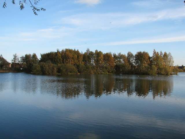
Image: © Bob Danylec Taken: 12 Nov 2005
Former gravel pit that at one time used to be twice the size. But like most areas half has been infilled for new housing.
Images are licensed for reuse under creativecommons.org/licenses/by-sa/2.0
Image Location
Latitude
53.057339
Longitude
-0.794386