An OS Benchmark on the wall beside the track from Wern to Bron-y-foel
Introduction
The photograph on this page of An OS Benchmark on the wall beside the track from Wern to Bron-y-foel by David Medcalf as part of the Geograph project.
The Geograph project started in 2005 with the aim of publishing, organising and preserving representative images for every square kilometre of Great Britain, Ireland and the Isle of Man.

There are currently over 7.5m images from over 14,400 individuals and you can help contribute to the project by visiting https://www.geograph.org.uk
An OS Benchmark on the wall beside the track from Wern to Bron-y-foel
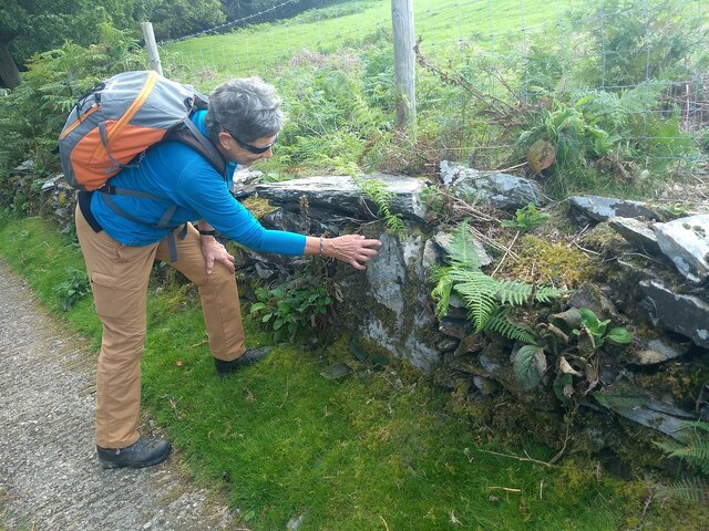
Image: © David Medcalf Taken: 2 Aug 2020
Images are licensed for reuse under creativecommons.org/licenses/by-sa/2.0
Image Location
Latitude
52.933358
Longitude
-4.168345