Almost natural
Introduction
The photograph on this page of Almost natural by Gordon Hatton as part of the Geograph project.
The Geograph project started in 2005 with the aim of publishing, organising and preserving representative images for every square kilometre of Great Britain, Ireland and the Isle of Man.

There are currently over 7.5m images from over 14,400 individuals and you can help contribute to the project by visiting https://www.geograph.org.uk
Almost natural
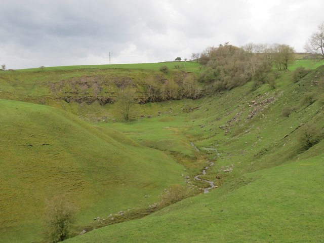
Image: © Gordon Hatton Taken: 6 Apr 2024
This steep sided valley with a small burn running through it could be mistaken for a natural feature, but it is actually the site of one of the Bishopley Crag limestone quarries that are shown on the OS map of 1898, complete with a tramway up to the quarry face.
Images are licensed for reuse under creativecommons.org/licenses/by-sa/2.0
Image Location
Latitude
54.719715
Longitude
-1.967988