Ings Lane on the outskirts of Hibaldstow
Introduction
The photograph on this page of Ings Lane on the outskirts of Hibaldstow by Peter Wood as part of the Geograph project.
The Geograph project started in 2005 with the aim of publishing, organising and preserving representative images for every square kilometre of Great Britain, Ireland and the Isle of Man.

There are currently over 7.5m images from over 14,400 individuals and you can help contribute to the project by visiting https://www.geograph.org.uk
Ings Lane on the outskirts of Hibaldstow
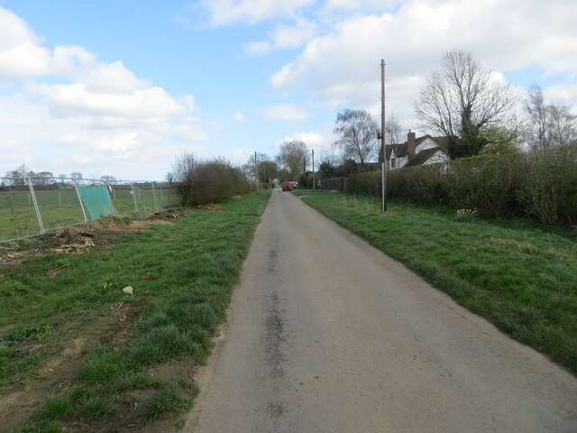
Image: © Peter Wood Taken: 23 Mar 2024
Looking eastward. More housing planned for the fenced off area on the right will result in further growth of the village.
Images are licensed for reuse under creativecommons.org/licenses/by-sa/2.0
Image Location


Leaflet Map data © OpenStreetMap
Latitude
53.511762
Longitude
-0.516639