Crawpeel Shore
Introduction
The photograph on this page of Crawpeel Shore by Richard Sutcliffe as part of the Geograph project.
The Geograph project started in 2005 with the aim of publishing, organising and preserving representative images for every square kilometre of Great Britain, Ireland and the Isle of Man.

There are currently over 7.5m images from over 14,400 individuals and you can help contribute to the project by visiting https://www.geograph.org.uk
Crawpeel Shore
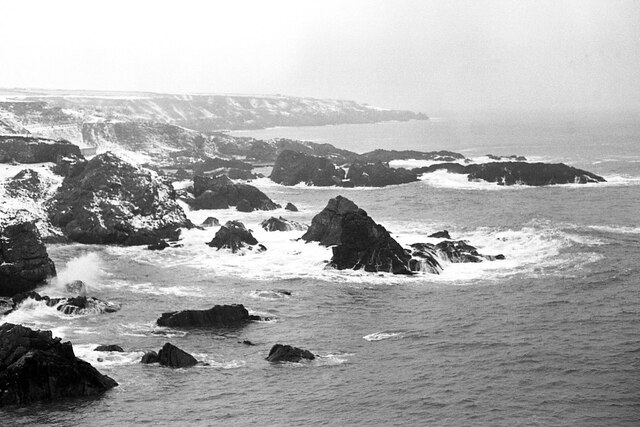
Image: © Richard Sutcliffe Taken: 1 Jan 1978
Looking from just north of Cove Harbour towards Souter Head on a snowy winter day.
Images are licensed for reuse under creativecommons.org/licenses/by-sa/2.0
Image Location
Latitude
57.099056
Longitude
-2.074254