Flooding in Welches Meadow
Introduction
The photograph on this page of Flooding in Welches Meadow by A J Paxton as part of the Geograph project.
The Geograph project started in 2005 with the aim of publishing, organising and preserving representative images for every square kilometre of Great Britain, Ireland and the Isle of Man.

There are currently over 7.5m images from over 14,400 individuals and you can help contribute to the project by visiting https://www.geograph.org.uk
Flooding in Welches Meadow
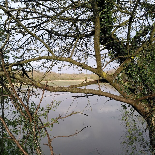
Image: © A J Paxton Taken: 6 Apr 2024
Welches Meadow is a flood meadow and local nature reserve by the River Leam, and is viewed here from Willes Road, just east of Jephson Gardens in Leamington Spa. See the site of the Warwickshire Wildlife Trust: https://www.warwickshirewildlifetrust.org.uk/WelchesMeadow .
Images are licensed for reuse under creativecommons.org/licenses/by-sa/2.0
Image Location
Latitude
52.288771
Longitude
-1.525668