Wanstead Park Road
Introduction
The photograph on this page of Wanstead Park Road by Des Blenkinsopp as part of the Geograph project.
The Geograph project started in 2005 with the aim of publishing, organising and preserving representative images for every square kilometre of Great Britain, Ireland and the Isle of Man.

There are currently over 7.5m images from over 14,400 individuals and you can help contribute to the project by visiting https://www.geograph.org.uk
Wanstead Park Road
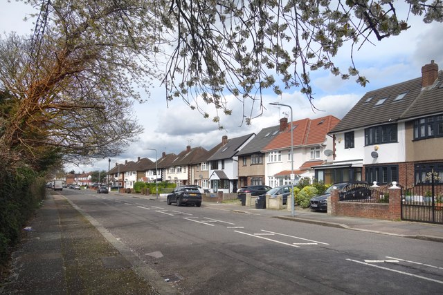
Image: © Des Blenkinsopp Taken: 2 Apr 2024
Residential on the opposite side only. On this side is a strip of woodland separating us from the North Circular Road. Wanstead Park Road is part of the route of the Roding Valley Way which follows the River Roding, on and off, for 10 kms or so between Woodford and Ilford. This is one of the "off" bits with the river being on the other side of the North Circular Road. A very pleasant riverside walk does exist. It's through Wanstead Park and would be a much nicer route for the Roding Valley Way except that there is no way out of the park at its northern end.
Images are licensed for reuse under creativecommons.org/licenses/by-sa/2.0
Image Location
Latitude
51.57234
Longitude
0.048922