Between Redbridge and Gants Hill
Introduction
The photograph on this page of Between Redbridge and Gants Hill by Des Blenkinsopp as part of the Geograph project.
The Geograph project started in 2005 with the aim of publishing, organising and preserving representative images for every square kilometre of Great Britain, Ireland and the Isle of Man.

There are currently over 7.5m images from over 14,400 individuals and you can help contribute to the project by visiting https://www.geograph.org.uk
Between Redbridge and Gants Hill
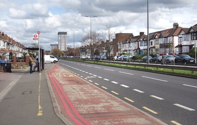
Image: © Des Blenkinsopp Taken: 2 Apr 2024
The A12, Eastern Avenue, is the main road through the middle of TQ4288 which otherwise mainly consists of quieter suburban style residential streets.
Images are licensed for reuse under creativecommons.org/licenses/by-sa/2.0
Image Location
Latitude
51.57639
Longitude
0.053867