Stutton Road, Tadcaster
Introduction
The photograph on this page of Stutton Road, Tadcaster by Stephen Craven as part of the Geograph project.
The Geograph project started in 2005 with the aim of publishing, organising and preserving representative images for every square kilometre of Great Britain, Ireland and the Isle of Man.

There are currently over 7.5m images from over 14,400 individuals and you can help contribute to the project by visiting https://www.geograph.org.uk
Stutton Road, Tadcaster
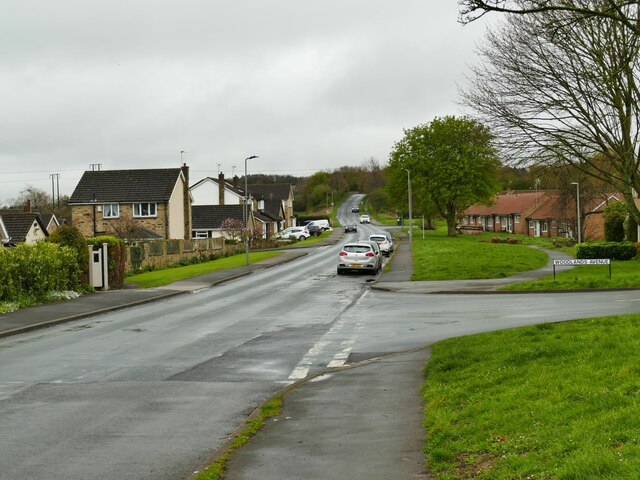
Image: © Stephen Craven Taken: 1 Apr 2024
Photographed towards the western edge of the town, at the junction with Woodlands Avenue. According to a local history site, the first turnpike affecting Tadcaster was the Doncaster and Tadcaster Turnpike in 1740 which entered Tadcaster along Stutton Road. The toll gate or turnpike is believed to have been here where Woodlands Avenue now joins Stutton Road, shown as Stutton Cross on the 1849 OS map. https://www.tadhistory.org.uk/history/transport/roads/the-turnpike-trusts-draft
Images are licensed for reuse under creativecommons.org/licenses/by-sa/2.0
Image Location


Leaflet Map data © OpenStreetMap
Latitude
53.874965
Longitude
-1.272328