Lakeside path in Perton, Staffordshire
Introduction
The photograph on this page of Lakeside path in Perton, Staffordshire by Roger D Kidd as part of the Geograph project.
The Geograph project started in 2005 with the aim of publishing, organising and preserving representative images for every square kilometre of Great Britain, Ireland and the Isle of Man.

There are currently over 7.5m images from over 14,400 individuals and you can help contribute to the project by visiting https://www.geograph.org.uk
Lakeside path in Perton, Staffordshire
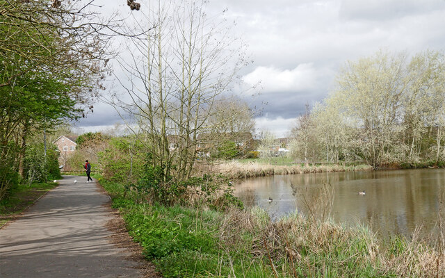
Image: © Roger D Kidd Taken: 2 Apr 2024
Looking north-west towards The Parkway and houses in Cabot Road. The path continues alongside the River Penk and towards the Lower Lake.
Images are licensed for reuse under creativecommons.org/licenses/by-sa/2.0
Image Location
Latitude
52.596354
Longitude
-2.206049