Village sign, Walberswick
Introduction
The photograph on this page of Village sign, Walberswick by Maigheach-gheal as part of the Geograph project.
The Geograph project started in 2005 with the aim of publishing, organising and preserving representative images for every square kilometre of Great Britain, Ireland and the Isle of Man.

There are currently over 7.5m images from over 14,400 individuals and you can help contribute to the project by visiting https://www.geograph.org.uk
Village sign, Walberswick
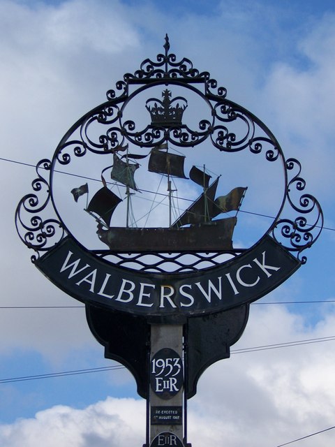
Image: © Maigheach-gheal Taken: 17 Apr 2008
Walberswick is a name of Saxon origin; the first two syllables are a modernised form of the name Waldbert, or Walhbert, probably a Saxon Thane or landowner, while 'wyc' was a shelter, or harbour; hence Waldbert's harbour. The B1387 comes to an end past the village green of Walberswick, once a flourishing port at the mouth of the River Blyth. Just across the river lie the boatyards of Southwold; to reach them by road involves a journey of around eight miles.
Images are licensed for reuse under creativecommons.org/licenses/by-sa/2.0
Image Location


Leaflet Map data © OpenStreetMap
Latitude
52.313967
Longitude
1.660867