Public access route to Ozleworth Bottom
Introduction
The photograph on this page of Public access route to Ozleworth Bottom by Brian Robert Marshall as part of the Geograph project.
The Geograph project started in 2005 with the aim of publishing, organising and preserving representative images for every square kilometre of Great Britain, Ireland and the Isle of Man.

There are currently over 7.5m images from over 14,400 individuals and you can help contribute to the project by visiting https://www.geograph.org.uk
Public access route to Ozleworth Bottom
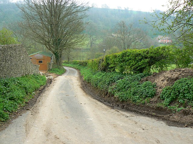
Image: © Brian Robert Marshall Taken: 22 Apr 2008
The route drops down a fairly steep slope to the picturesquely named Ozleworth Bottom.
Images are licensed for reuse under creativecommons.org/licenses/by-sa/2.0
Image Location
Latitude
51.632457
Longitude
-2.299605