Carriage Hall
Introduction
The photograph on this page of Carriage Hall by Derek Harper as part of the Geograph project.
The Geograph project started in 2005 with the aim of publishing, organising and preserving representative images for every square kilometre of Great Britain, Ireland and the Isle of Man.

There are currently over 7.5m images from over 14,400 individuals and you can help contribute to the project by visiting https://www.geograph.org.uk
Carriage Hall
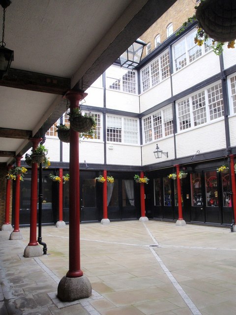
Image: © Derek Harper Taken: 18 Apr 2008
A converted stabling yard once used by coachmakers between Long Acre and Floral Street, close to Covent Garden.
Images are licensed for reuse under creativecommons.org/licenses/by-sa/2.0
Image Location


Leaflet Map data © OpenStreetMap
Latitude
51.512215
Longitude
-0.125279