Route of former collier railway
Introduction
The photograph on this page of Route of former collier railway by Kevin Waterhouse as part of the Geograph project.
The Geograph project started in 2005 with the aim of publishing, organising and preserving representative images for every square kilometre of Great Britain, Ireland and the Isle of Man.

There are currently over 7.5m images from over 14,400 individuals and you can help contribute to the project by visiting https://www.geograph.org.uk
Route of former collier railway
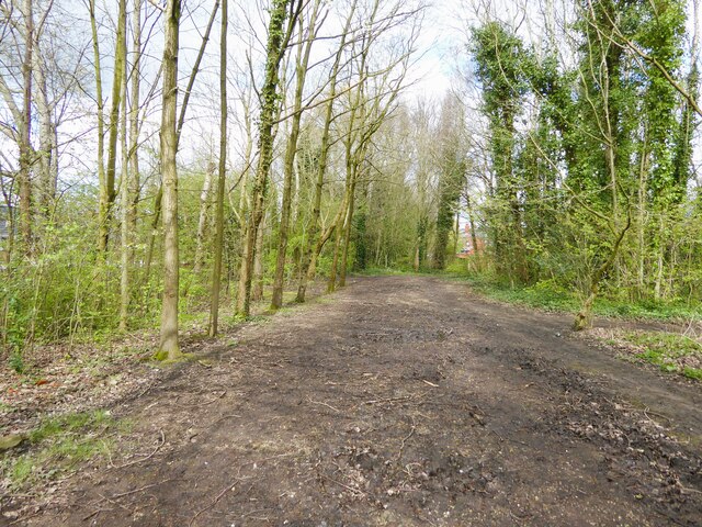
Image: © Kevin Waterhouse Taken: 2 Apr 2024
Heading away from a now filled in basin on the Leeds & Liverpool Canal (Leigh Branch) near to the Atherleigh Road bridge across the canal.
Images are licensed for reuse under creativecommons.org/licenses/by-sa/2.0
Image Location
Latitude
53.496157
Longitude
-2.529505