The Brimley Brook on Maudlin Drive
Introduction
The photograph on this page of The Brimley Brook on Maudlin Drive by Neil Owen as part of the Geograph project.
The Geograph project started in 2005 with the aim of publishing, organising and preserving representative images for every square kilometre of Great Britain, Ireland and the Isle of Man.

There are currently over 7.5m images from over 14,400 individuals and you can help contribute to the project by visiting https://www.geograph.org.uk
The Brimley Brook on Maudlin Drive
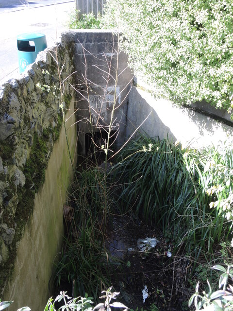
Image: © Neil Owen Taken: 30 Mar 2024
The brook has two branches running from Holcombe Down; this is the eastern, briefly emerging into view before returning to the culvert. Today it is little more than a trickle.
Images are licensed for reuse under creativecommons.org/licenses/by-sa/2.0
Image Location
Latitude
50.558096
Longitude
-3.497521