Boating Lake, Brooklands Park
Introduction
The photograph on this page of Boating Lake, Brooklands Park by Simon Carey as part of the Geograph project.
The Geograph project started in 2005 with the aim of publishing, organising and preserving representative images for every square kilometre of Great Britain, Ireland and the Isle of Man.

There are currently over 7.5m images from over 14,400 individuals and you can help contribute to the project by visiting https://www.geograph.org.uk
Boating Lake, Brooklands Park
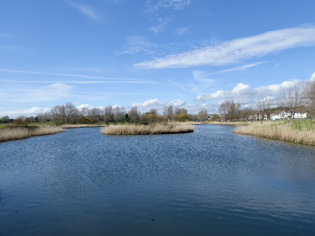
Image: © Simon Carey Taken: 31 Mar 2024
Excavated in 1958 as part of a new park but also as a flood prevention measure for Teville Stream and its tributaries. This is the view from the southern end where Teville Stream is culverted under the A259 and then enters the sea.
Images are licensed for reuse under creativecommons.org/licenses/by-sa/2.0
Image Location
Latitude
50.818535
Longitude
-0.335483